Register
Already Have a Profile?
Y
Q
D
9
L

Enter the Above Text
Sequim, WA
USA
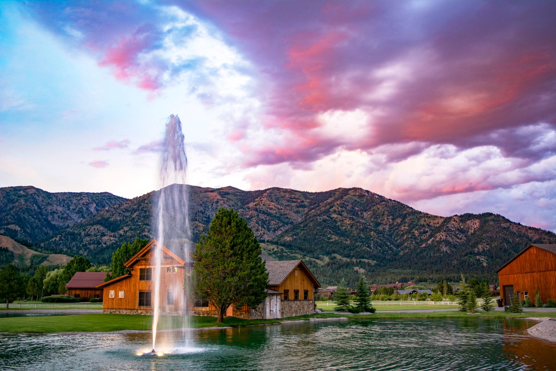
Blue Ribbon Farms Airport (FAA identifier WN29) is a privately owned, private use grass airstrip available for use by members of the Blue Ribbon Farms Property Owners Association. A number of homes in the subdivision have hangars, and property owners may also tie their aircraft down in their yards. Aircraft use of the private roads in the community is authorized for taxiing to and from the runway.
Information is provided here for transient pilots to assist with safe and courteous arrivals and departures from the strip.
Unicom = 122.9
Elevation = 100' MSL
Dimensions = 1960' L x 65' W
GPS = N48� 07.8' W123� 12.3'
Pattern altitude = 900' MSL
Runway 07 = left traffic
Runway 25 = left traffic
The Dungeness National Wildlife Refuge is just Northeast of the airport. The minimum altitude for over-flight is 2000' MSL Blue Ribbon Farms Airport (FAA identifier WN29) is a privately owned, private use grass airstrip available for use by members of the Blue Ribbon Farms Property Owners Association. A number of homes in the subdivision have hangars, and property owners may also tie their aircraft down in their yards. Aircraft use of the private roads in the community is authorized for taxiing to and from the runway.
Information is provided here for transient pilots to assist with safe and courteous arrivals and departures from the strip.
Unicom = 122.9
Elevation = 100' MSL
Dimensions = 1960' L x 65' W
GPS = N48� 07.8' W123� 12.3'
Pattern altitude = 900' MSL
Runway 07 = left traffic
Runway 25 = left traffic
The Dungeness National Wildlife Refuge is just Northeast of the airport. The minimum altitude for over-flight is 2000' MSL
Year Opened: 1984
Latitude: 48.1303062
Longitude: -123.205574
Elevation: 120 Ft
Ownership: Private
Use Type: Private
Number of Lots: 153
Average Lot Size: 1 acre or more
Based Aircraft: 15
Owner's Association
Electricity
Sewer:
Runway Length: 2,350 Ft
Airport ID: WN29
AirNav